


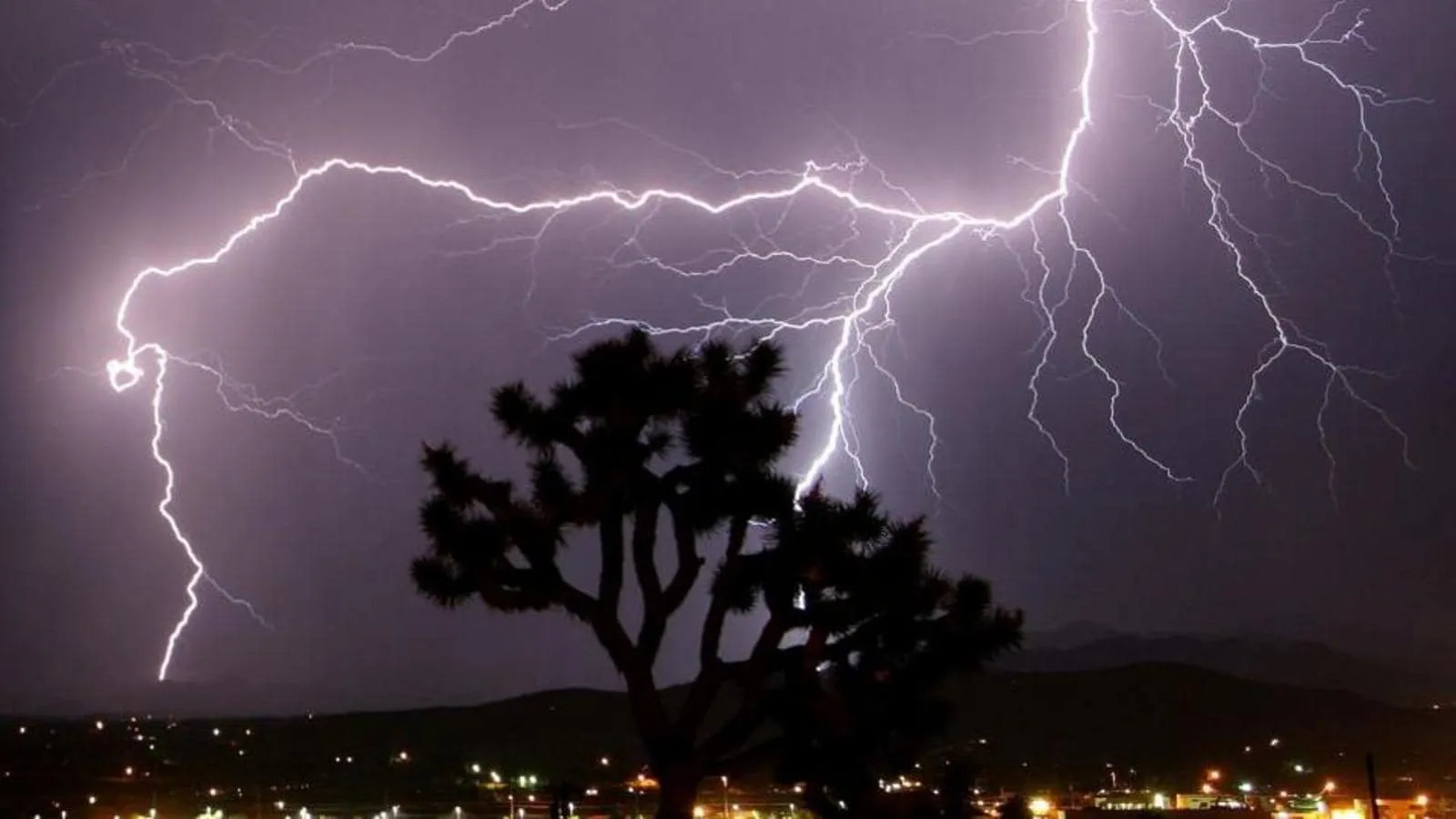
The National Weather Service in Paducah has issued a Tornado Watch, a Severe Thunderstorm Warning, and a Flood Advisory for Daviess County.
| Event: | Tornado Watch |
| Alert: | TORNADO WATCH 79 REMAINS VALID UNTIL 10 PM CDT THIS EVENING FOR THE FOLLOWING AREAS IN ILLINOIS THIS WATCH INCLUDES 9 COUNTIES IN SOUTHEAST ILLINOIS EDWARDS IN SOUTHERN ILLINOIS GALLATIN HAMILTON HARDIN POPE SALINE WABASH WAYNE WHITEIN INDIANA THIS WATCH INCLUDES 6 COUNTIES IN SOUTHWEST INDIANA POSEY IN SOUTHWEST INDIANA GIBSON PIKE SPENCER VANDERBURGH WARRICKIN KENTUCKY THIS WATCH INCLUDES 16 COUNTIES IN WESTERN KENTUCKY CALDWELL CALLOWAY CHRISTIAN CRITTENDEN DAVIESS HENDERSON HOPKINS LIVINGSTON LYON MARSHALL MCLEAN MUHLENBERG TODD TRIGG UNION WEBSTER THIS INCLUDES THE CITIES OF ALBION, BENTON, BOONVILLE, CADIZ, CALHOUN, CARMI, DIXON, EDDYVILLE, ELIZABETHTOWN, ELKTON, EVANSVILLE, FAIRFIELD, FORT BRANCH, GOLCONDA, GRAYVILLE, GREENVILLE, HARRISBURG, HENDERSON, HOPKINSVILLE, MADISONVILLE, MARION, MCLEANSBORO, MORGANFIELD, MOUNT CARMEL, MURRAY, OWENSBORO, PETERSBURG, POSEYVILLE, PRINCETON, ROCKPORT, SHAWNEETOWN, SMITHLAND, AND WEST SALEM. |
| Instructions: | |
| Target Area: | Caldwell Calloway Christian Crittenden Daviess Henderson Hopkins Livingston Lyon Marshall McLean Muhlenberg Todd Trigg Union Webster |
| Event: | Severe Thunderstorm Warning |
| Alert: | The National Weather Service in Paducah has issued a * Severe Thunderstorm Warning for… Southwestern Daviess County in northwestern Kentucky… Muhlenberg County in south central Kentucky… Northeastern Christian County in south central Kentucky… McLean County in northwestern Kentucky… Hopkins County in northwestern Kentucky… Northeastern Webster County in northwestern Kentucky… * Until 715 PM CDT. * At 640 PM CDT, severe thunderstorms were located along a line extending from 6 miles west of Madisonville to near Crofton to near Hopkinsville, moving northeast at 85 mph. HAZARD…70 mph wind gusts. SOURCE…Trained weather spotters. IMPACT…Expect considerable tree damage. Damage is likely to mobile homes, roofs, and outbuildings. * Severe thunderstorms will be near… Nortonville and Mortons Gap around 645 PM CDT. Madisonville and Earlington around 650 PM CDT. Beech Grove around 655 PM CDT. St. Joseph and Weir around 700 PM CDT. Other locations in the path of these severe thunderstorms include Calhoun, Powderly, Graham, Greenville, Central City, Owensboro, Livermore and Masonville. This includes the following highways… Interstate 165 between Mile Markers 65 and 69. Interstate 69 in Kentucky between Mile Markers 94 and 135. Western Kentucky Parkway between Mile Markers 39 and 64. Pennyrile Parkway between Mile Markers 25 and 34. Audubon Parkway between Mile Markers 15 and 21. TORNADO…POSSIBLE THUNDERSTORM DAMAGE THREAT…CONSIDERABLE HAIL THREAT…RADAR INDICATED MAX HAIL SIZE…<.75 IN WIND THREAT…RADAR INDICATED MAX WIND GUST…70 MPH |
| Instructions: | A Tornado Watch remains in effect until 1000 PM CDT for south central and northwestern Kentucky. For your protection move to an interior room on the lowest floor of a building. A Tornado Watch remains in effect until 1000 PM CDT for south central and northwestern Kentucky. |
| Target Area: | Christian Daviess Hopkins McLean Muhlenberg Webster |
| Event: | Flood Advisory |
| Alert: | …FLOOD ADVISORY IN EFFECT UNTIL 930 PM CDT THIS EVENING… * WHAT…Flooding caused by excessive rainfall is expected. * WHERE…Portions of Indiana and western Kentucky, including the following areas, in Indiana, Gibson, Pike, Posey, Spencer, Vanderburgh, and Warrick. In western Kentucky, Christian, Daviess, Henderson, Hopkins, McLean, Muhlenberg, Todd, Union, and Webster. * WHEN…Until 930 PM CDT. * IMPACTS…Minor flooding in low-lying and poor drainage areas. * ADDITIONAL DETAILS… – At 629 PM CDT, Doppler radar indicated heavy rain due to thunderstorms. Minor flooding is ongoing or expected to begin shortly in the advisory area. – Additional rainfall amounts of 1 to 2 inches are expected over the area. This additional rain will result in minor flooding. – Some locations that will experience flooding include… Evansville, Owensboro, Hopkinsville, Henderson, Madisonville, Princeton, Oak Grove, Mount Vernon, Boonville, Central City, Newburgh, Morganfield, Providence, Chandler, Fort Branch, Dawson Springs, Oakland City, Petersburg, Rockport and Elkton. |
| Instructions: | Turn around, don`t drown when encountering flooded roads. Most flood deaths occur in vehicles. |
| Target Area: | Christian Daviess McLean |
OVERVIEW
OnMyWay Is The #1 Distracted Driving Mobile App In The Nation!
OnMyWay, based in Charleston, SC, The Only Mobile App That Pays its Users Not to Text and Drive.
The #1 cause of death among young adults ages 16-27 is Car Accidents, with the majority related to Distracted Driving.
OnMyWay’s mission is to reverse this epidemic through positive rewards. Users get paid for every mile they do not text and drive and can refer their friends to get compensated for them as well.
The money earned can then be used for Cash Cards, Gift Cards, Travel Deals and Much, Much More….
The company also makes it a point to let users know that OnMyWay does NOT sell users data and only tracks them for purposes of providing a better experience while using the app.
The OnMyWay app is free to download and is currently available on both the App Store for iPhones and Google Play for Android @ OnMyWay; Drive Safe, Get Paid.
Download App Now – https://r.onmyway.com
Sponsors and advertisers can contact the company directly through their website @ www.onmyway.com.